Elev Group Pty Ltd
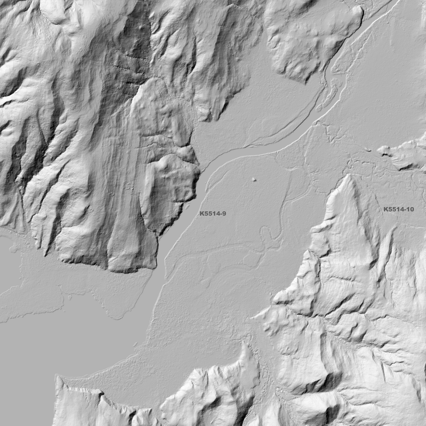
Bathurst Harbour 1m Digital Elevation Model (K5514-9)
Bathurst Harbour 1m Digital Elevation Model (K5514-9)
Couldn't load pickup availability
Bathurst Harbour 1m Digital Elevation Model (K5514-9) – High-Precision Digital Elevation Model Data which has been highly curated and ready for use.
Elev Group presents our high-resolution Bathurst Harbour 1m Digital Elevation Model (DEM)—an easy-to-access resource for professionals needing precise terrain data for mapping, modelling, and spatial analysis.
What is in your Download?
- 1 Metre resolution Digital Elevation Model (Geotiff format)
- Full Metadata Statement (PDF document)
- Metadata Index Dataset (ESRI Shapefile)
- Copies of original Metadata from each contributing data survey
Data Source Attribution: The 1m DEM is compiled from a variety of authoritative sources, with each pixel representing the most current elevation data for consistent and accurate geospatial analysis.
Bathurst Harbour 1m DEM (K5514-9) compiled with data supplied by The Department of Natural Resources and Environment Tasmania.
Projection: Zone 55 Map Grid of Australia and Datum: GDA2020
Locations
State and Territories: Tasmania
Locations within the area; Fairytale Head, Freney Lagoon, Hidden Valley, Melaleuca, Melaleuca Lagoon, Miller Lagoon, Mount Beattie, Mount Berry, Mount Brock, Mount Counsel, Mount Curran, Mount Fulton, Mount King, Mount MacKenzie, Mount Melaleuca, Mount Nares, Mount Nicholls, Mount Parry, Mount Rallinga, Mount Rugby, Mount Stokes, Mount Wilson
Share