Elev Group Pty Ltd
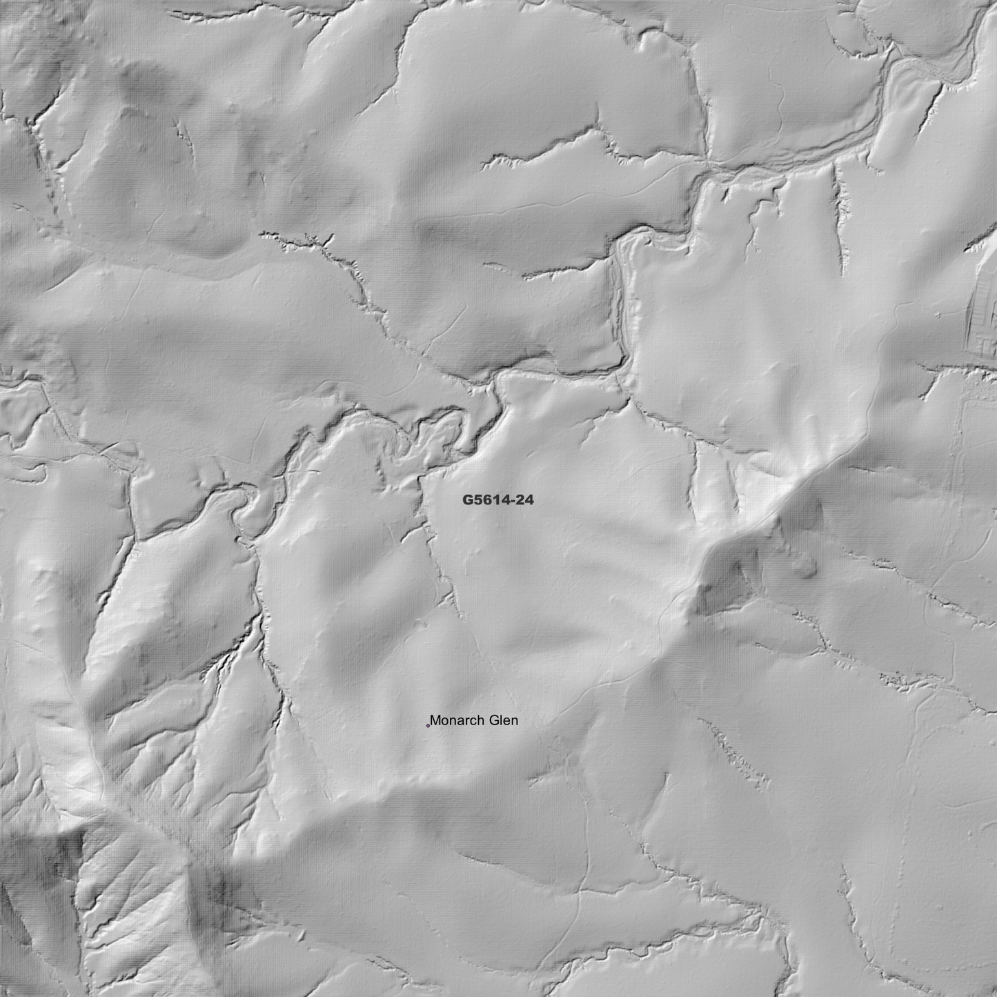
Beaudesert 1m Digital Elevation Model (G5614-24)
Beaudesert 1m Digital Elevation Model (G5614-24)
Couldn't load pickup availability
*Updated Product - March 2026*
Beaudesert 1m Digital Elevation Model (G5614-24) – High-Precision Digital Elevation Model Data which has been highly curated and ready for use.
Elev Group presents our high-resolution Beaudesert 1m Digital Elevation Model (DEM)—an easy-to-access resource for professionals needing precise terrain data for mapping, modelling, and spatial analysis.
What is in your Download
- 1 Metre resolution Digital Elevation Model (Geotiff format)
- Full Metadata Statement (PDF document)
- Metadata Index Dataset (ESRI Shapefile)
- Copies of original Metadata from each contributing data survey
Data Source Attribution: The 1m DEM is compiled from a variety of authoritative sources, with each pixel representing the most current elevation data for consistent and accurate geospatial analysis.
Beaudesert 1m DEM (G5614-24) compiled with data supplied by State of Queensland
Projection: Zone 56 Map Grid of Australia and Datum: GDA2020
Locations
State and Territories: Queensland
Locations within the area; Allenview, Beaudesert, Bromelton, Cedar Grove, Dugandan, Flinders Lakes, Gleneagle, Il-Bogan, Kagaru, Lake Brabazon, Logan, Lyons, Maclean, Monarch Glen, Mount Blaine, Mount Crumpet, Mount Elliott, Mount Flintoff, Mount Goolman, Mount Joyce, Mount Juberra, Mount Moy, Mount Perry, Mount Welcome, Mount Wilbraham, New Beith, North Maclean, Peak Crossing, Riverbend, Silverbark Ridge, South Maclean, Teviot, Undullah, Veresdale, Washpool, Woodhill, Woolooman, Wyaralong
Share