Elev Group Pty Ltd
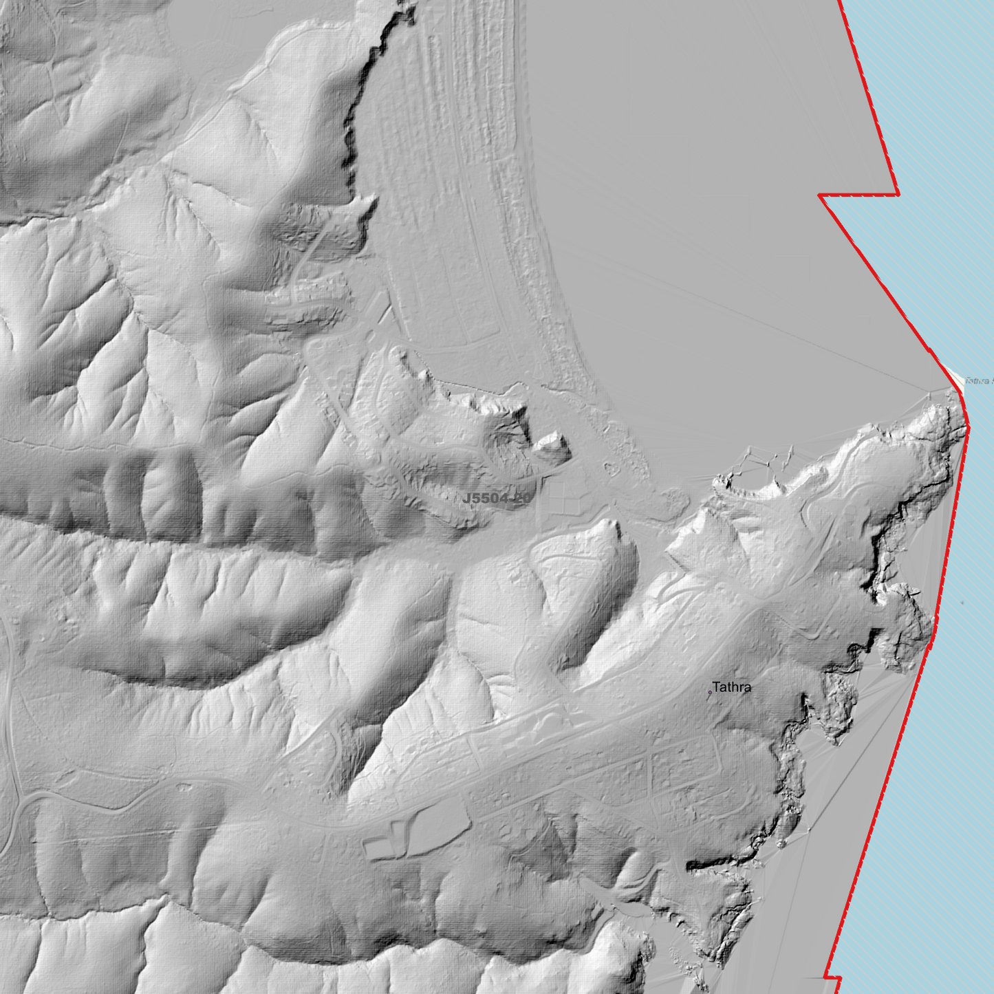
Bega 1m Digital Elevation Model (J5504-20)
Bega 1m Digital Elevation Model (J5504-20)
Couldn't load pickup availability
Bega 1m Digital Elevation Model (J5504-20) – High-Precision Digital Elevation Model Data which has been highly curated and ready for use.
Elev Group presents our high-resolution Bega 1m Digital Elevation Model (DEM)—an easy-to-access resource for professionals needing precise terrain data for mapping, modelling, and spatial analysis.
What is in your Download
- 1 Metre resolution Digital Elevation Model (Geotiff format)
- Full Metadata Statement (PDF document)
- Metadata Index Dataset (ESRI Shapefile)
- Copies of original Metadata from each contributing data survey
Data Source Attribution: The 1m DEM is compiled from a variety of authoritative sources, with each pixel representing the most current elevation data for consistent and accurate geospatial analysis.
Bega 1mDEM (J5504-20) compiled with data supplied by NSW Government (Spatial Services).
Projection: Zone 55 Map Grid of Australia and Datum: GDA2020. (Product also contains a MGA56 Version)
Locations
State and Territories: New South Wales
Locations within the area; Angledale, Angledale Crossing, Bega, Bega, Black Range, Brianderry, Brogo, Chinnock, Coopers Gully, Corridgeree, Daisy Hill, Doctor George Mountain, Double Creek, Garfield, Glebe, Greendale, Jellat Jellat, Kalaru, Kanoona, Kingswood, Mogareeka, Mount Pleasant, Mumbulla Mountain, Mumbulla State Forest, Murray Flat, Nelson, North Bega, Reedy Swamp, Springvale, Stony Creek, Tanja, Tanja State Forest, Tarraganda, Tathra, The Diggings, Wapengo
Share