Elev Group Pty Ltd
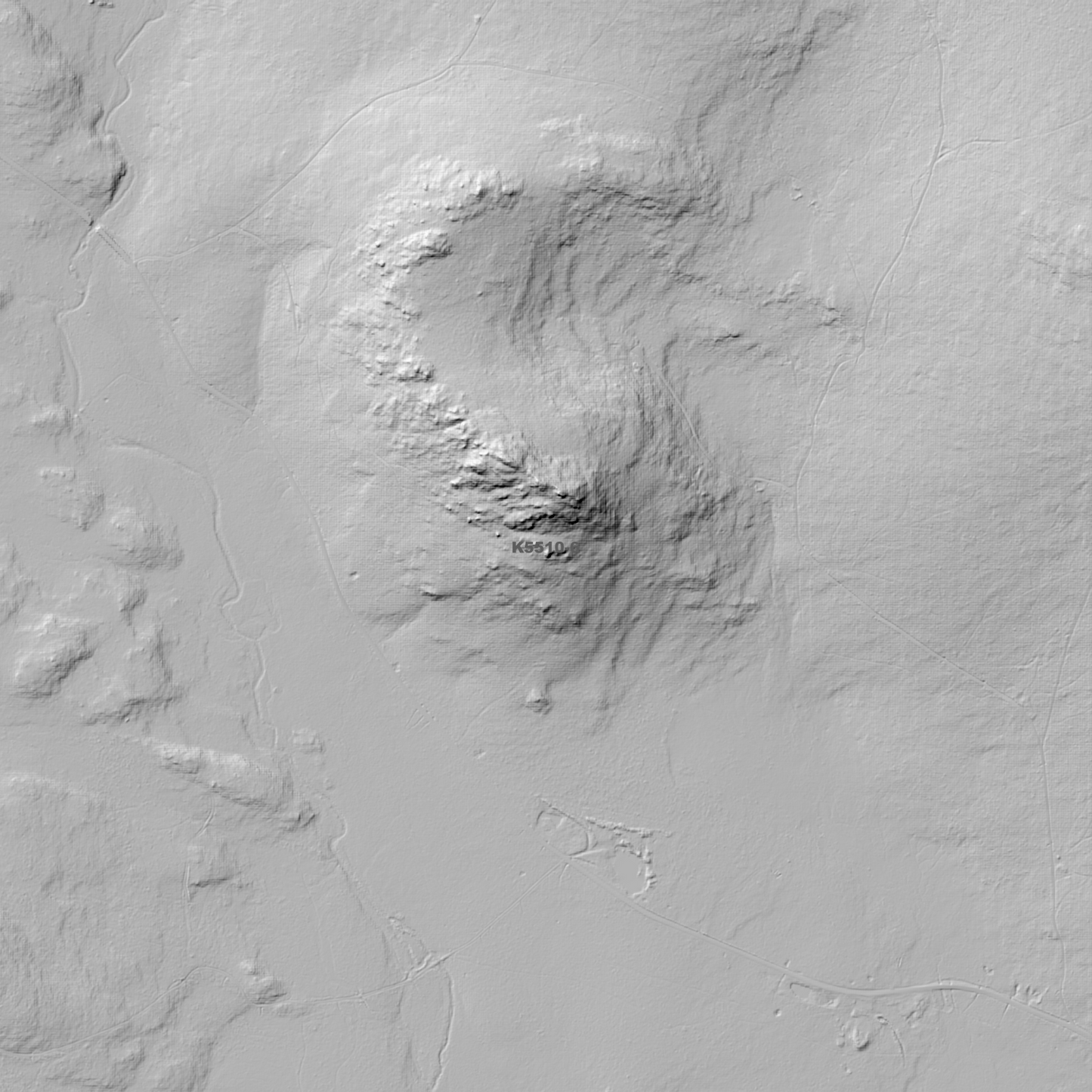
Bronte Park 1m Digital Elevation Model (K5510-6)
Bronte Park 1m Digital Elevation Model (K5510-6)
Couldn't load pickup availability
Bronte Park 1m Digital Elevation Model (K5510-6) – High-Precision Digital Elevation Model Data which has been highly curated and ready for use.
Elev Group presents our high-resolution Bronte Park 1m Digital Elevation Model (DEM)—an easy-to-access resource for professionals needing precise terrain data for mapping, modelling, and spatial analysis.
What is in your Download?
- 1 Metre resolution Digital Elevation Model (Geotiff format)
- Full Metadata Statement (PDF document)
- Metadata Index Dataset (ESRI Shapefile)
- Copies of original Metadata from each contributing data survey
Data Source Attribution: The 1m DEM is compiled from a variety of authoritative sources, with each pixel representing the most current elevation data for consistent and accurate geospatial analysis.
Bronte Park 1m DEM (K5510-6) compiled with data supplied by The Department of Natural Resources and Environment Tasmania.
Projection: Zone 55 Map Grid of Australia and Datum: GDA2020
Locations
State and Territories: Tasmania
Locations within the area; Bradys Dam, Bradys Lake, Bronte, Bronte Dam, Bronte Lagoon, Bronte Park, Butlers Gorge, Clarence Lagoon, Clarence Weir, D'Arcys Bluff, Dunnys Dam, Ina Lagoon, Kenneth Lagoon, Lake Beatrix, Lake Catherine, Lake Eve, Lake Ina, Lake Kaljee, Lake Knight, Laughing Jack Dam, Laughing Jack Lagoon, Nive Lagoon, Pine Tier Dam, Pine Tier Lagoon, Wentworth Dam
Share