Elev Group Pty Ltd
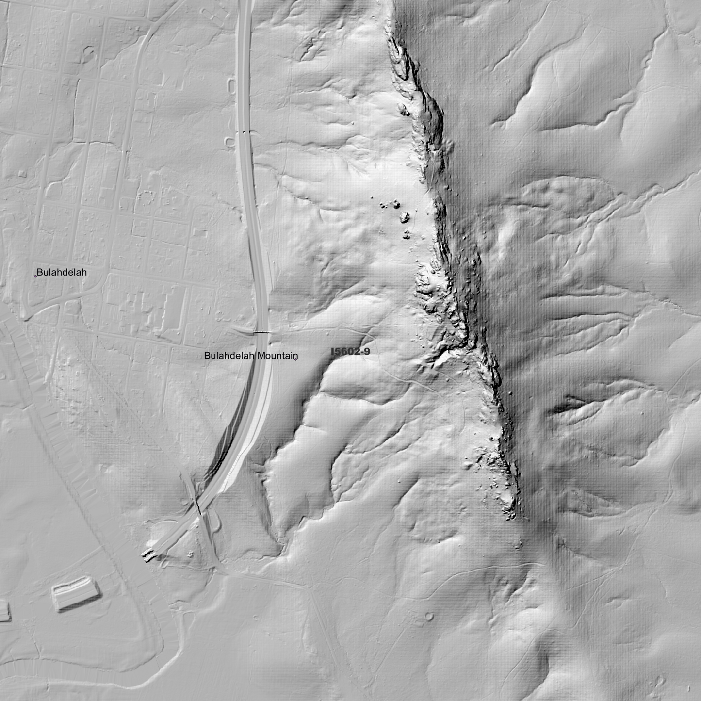
Bulahdelah 1m Digital Elevation Model (I5602-9)
Bulahdelah 1m Digital Elevation Model (I5602-9)
Couldn't load pickup availability
*Updated Product - March 2026*
Bulahdelah 1m Digital Elevation Model (I5602-9) – High-Precision Digital Elevation Model Data which has been highly curated and ready for use.
Elev Group presents our high-resolution Buladelah 1m Digital Elevation Model (DEM)—an easy-to-access resource for professionals needing precise terrain data for mapping, modelling, and spatial analysis.
What is in your Download
- 1 Metre resolution Digital Elevation Model (Geotiff format)
- Full Metadata Statement (PDF document)
- Metadata Index Dataset (ESRI Shapefile)
- Copies of original Metadata from each contributing data survey
Data Source Attribution: The 1m DEM is compiled from a variety of authoritative sources, with each pixel representing the most current elevation data for consistent and accurate geospatial analysis.
Buladelah 1m DEM (I5602-9) compiled with data supplied by NSW Government - Spatial Services, and NSW Government (Natural Resources Commission)
Note: Bad Data area/s removed. Data Gaps Exist Between Source Datasets
Projection: Zone 56 Map Grid of Australia and Datum: GDA2020
Locations
State and Territories: New South Wales
Locations within the area; Markwell, Newells Creek, Bulahdelah, Rosenthal, Conical Mountain, Bulahdelah Mountain, Cabbage Tree Mountain, Winns Mountain, Stroud Mountain, Mount Mistake, Purgatory Mountain, Boolambayte, Gorton, Myall, Crawford River, Girvan, Upper Myall
Share