Elev Group Pty Ltd
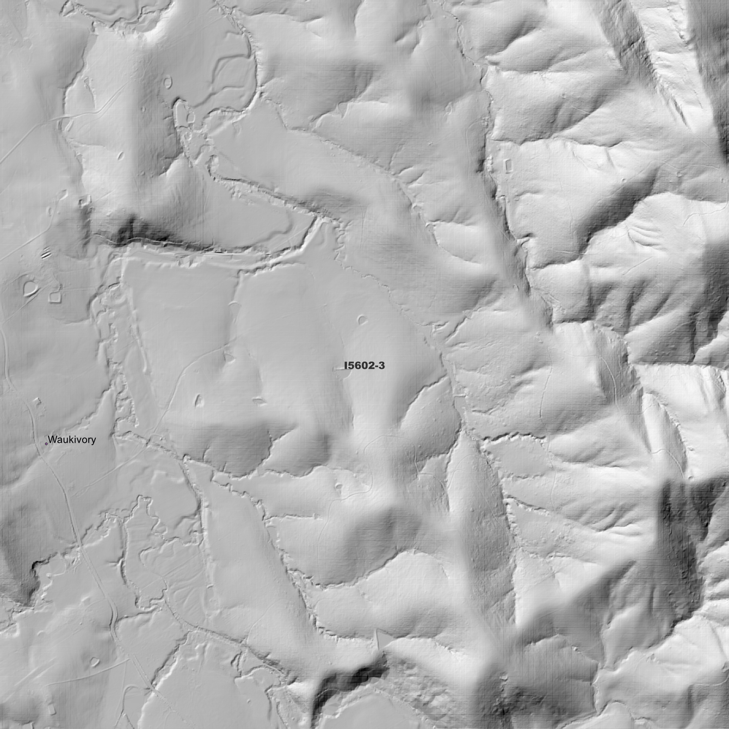
Bunyah 1m Digital Elevation Model (I5602-3)
Bunyah 1m Digital Elevation Model (I5602-3)
Couldn't load pickup availability
*Updated Product - March 2026*
Bunyah 1m Digital Elevation Model (I5602-3) – High-Precision Digital Elevation Model Data which has been highly curated and ready for use.
Elev Group presents our high-resolution Bunyah 1m Digital Elevation Model (DEM)—an easy-to-access resource for professionals needing precise terrain data for mapping, modelling, and spatial analysis.
What is in your Download
- 1 Metre resolution Digital Elevation Model (Geotiff format)
- Full Metadata Statement (PDF document)
- Metadata Index Dataset (ESRI Shapefile)
- Copies of original Metadata from each contributing data survey
Data Source Attribution: The 1m DEM is compiled from a variety of authoritative sources, with each pixel representing the most current elevation data for consistent and accurate geospatial analysis.
Bunyah 1m DEM (I5602-3) compiled with data supplied by NSW Government - Spatial Services, and NSW Government (Natural Resources Commission).
Note: Bad Data area/s removed. Data Gaps Exist Between Source Datasets
Projection: Zone 56 Map Grid of Australia and Datum: GDA2020
Locations
State and Territories: New South Wales
Locations within the area; Gloucester, Bunyah, Bulby Brush, Mograni Creek, Tahpit, Upper Bunyah, Wards Glen, Karkatt, Strangers Corner, Blue Top Mountain, Mount Mograni, Martins Mount, Coolongolook, Curreeki, Euther, Kyle, Teleraree, Mimi, Grant, Titaatee Creek, Mograni, Wallanbah, Bucca Wauka, Tipperary, Terreel, Gangat, Waukivory, Warranulla, Coomba Park, Failford, Nabiac, Cocumbark, Corrigan, Bullock Flat, Darawank, Wallingat, Minimbah, Krambach Mountain, Mount Talawahl, Willabah, Wollom, Kundibakh, Talawahl, Wang Wauk, Shallow Bay, Willina, Dyers Crossing, Firefly, Krambach, Possum Brush, Rainbow Flat
Share