Elev Group Pty Ltd
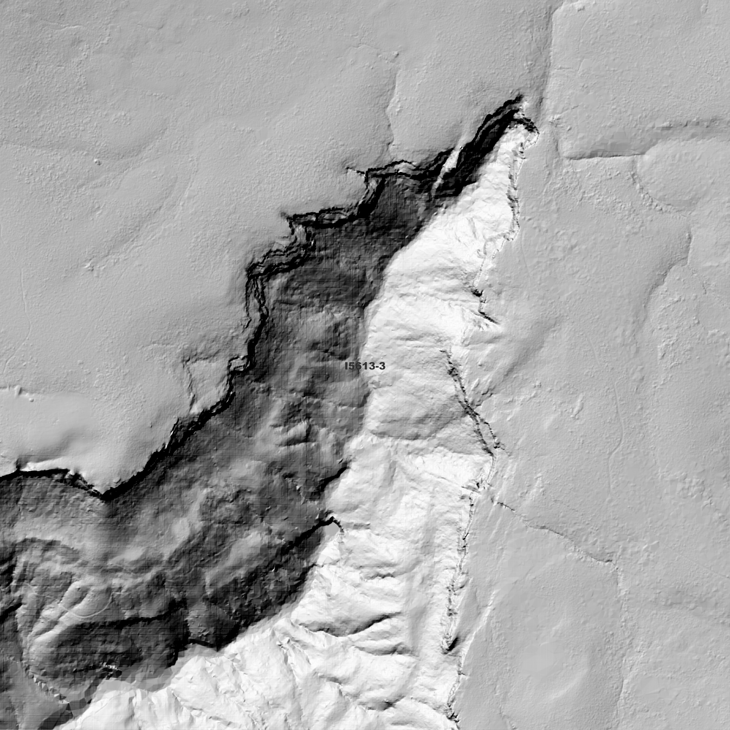
Burrawang 1m Digital Elevation Model (I5613-3)
Burrawang 1m Digital Elevation Model (I5613-3)
Couldn't load pickup availability
*Updated Product - March 2026*
Burrawang 1m Digital Elevation Model (I5613-3) – High-Precision Digital Elevation Model Data which has been highly curated and ready for use.
Elev Group presents our high-resolution Burrawang 1m Digital Elevation Model (DEM)—an easy-to-access resource for professionals needing precise terrain data for mapping, modelling, and spatial analysis.
What is in your Download
- 1 Metre resolution Digital Elevation Model (Geotiff format)
- Full Metadata Statement (PDF document)
- Metadata Index Dataset (ESRI Shapefile)
- Copies of original Metadata from each contributing data survey
Data Source Attribution: The 1m DEM is compiled from a variety of authoritative sources, with each pixel representing the most current elevation data for consistent and accurate geospatial analysis.
Burrawang 1m DEM (I5613-3) compiled with data supplied by Spatial Services, a business unit of the Department of Customer Service, NSW.
Note: Data Gaps and Holes Exist Within Source Datasets.
Projection: Zone 56 Map Grid of Australia and Datum: GDA2020
Locations
State and Territories: New South Wales
Locations within the area; Avondale, Barren Grounds, Barrengarry, Belmore Crossing, Billy Billy Flat, Brogers Creek, Broughton, Broughton Vale, Budderoo, Burrawang, Calderwood, Cambewarra, Carrington Falls, East Kangaloon, Kangaloon, Kangaroo Valley, Knights Hill, Macquarie Pass, Marshall Mount, Mount Murray, Nellies Glen, North Macquarie, Pheasant Ground, Robertson, St Anthonys, Summit Dam, Tongarra, Tullimbar, Upper Kangaroo River, Upper Kangaroo Valley, Wallaya, Wattamolla, Wildes Meadow, Woodhill, Yarrawa, Yellow Rock, Yeola
Share