Elev Group Pty Ltd
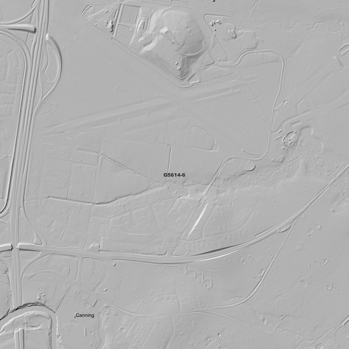
Caboolture 1m Digital Elevation Model (G5614-6)
Caboolture 1m Digital Elevation Model (G5614-6)
Couldn't load pickup availability
Caboolture 1m Digital Elevation Model (G5614-6) – High-Precision Digital Elevation Model Data which has been highly curated and ready for use.
Elev Group presents our high-resolution Caboolture 1m Digital Elevation Model (DEM)—an easy-to-access resource for professionals needing precise terrain data for mapping, modelling, and spatial analysis.
What is in your Download
- 1 Metre resolution Digital Elevation Model (Geotiff format)
- Full Metadata Statement (PDF document)
- Metadata Index Dataset (ESRI Shapefile)
- Copies of original Metadata from each contributing data survey
Data Source Attribution: The 1m DEM is compiled from a variety of authoritative sources, with each pixel representing the most current elevation data for consistent and accurate geospatial analysis.
Caboolture 1m DEM (G5614-6) compiled with data supplied by State of Queensland
Projection: Zone 56 Map Grid of Australia and Datum: GDA2020
Locations
State and Territories: Queensland
Locations within the area; Armstrong Creek, Bellmere, Bracalba, Burpengary, Caboolture, Caboolture South, Campbells Pocket, Canning, Corymbia, Dakabin, Dayboro, Delaneys Creek, Elimbah, Greenstone, King Scrub, Kurwongbah, Lake Kurwongbah, Lilywood, Moodlu, Moorina, Morayfield, Mount Miketeebumulgrai, Mount Pleasant, Narangba, Ocean View, Pine, Rocksberg, Rush Creek, Samsonvale, Upper Caboolture, Wagtail Grove, Wamuran, Wamuran Basin, Waraba, Wararba, Whiteside
Share