Elev Group Pty Ltd
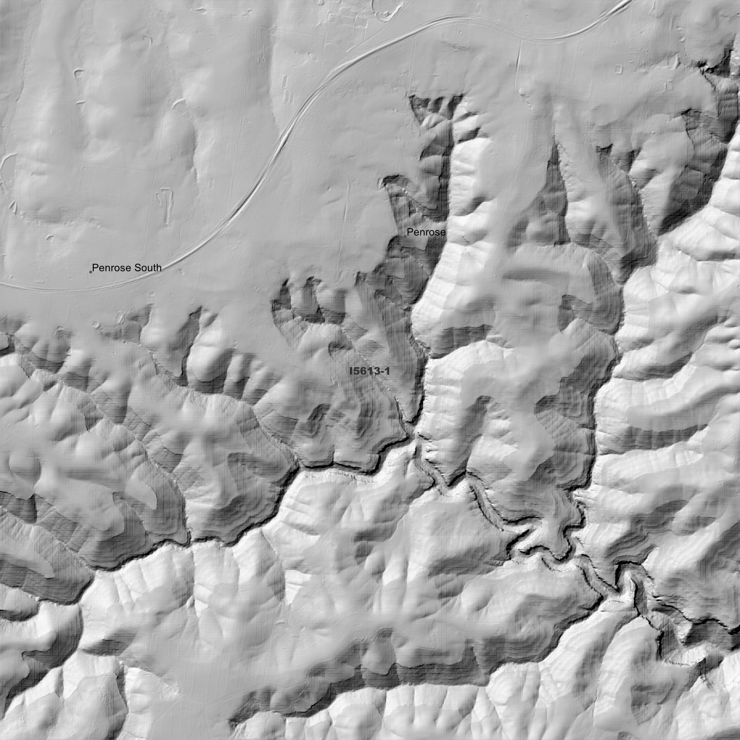
Canyonleigh 2m Digital Elevation Model (I5613-1)
Canyonleigh 2m Digital Elevation Model (I5613-1)
Couldn't load pickup availability
*New Product - April 2026*
Canyonleigh 2m Digital Elevation Model (I5613-1) – High-Precision Digital Elevation Model Data which has been highly curated and ready for use.
Elev Group presents our high-resolution Canyonleigh 2m Digital Elevation Model (DEM)—an easy-to-access resource for professionals needing precise terrain data for mapping, modelling, and spatial analysis.
What is in your Download
- 2 Metre resolution Digital Elevation Model (Geotiff format) (Full Coverage)
- Full Metadata Statements (PDF document)
- Metadata Index Datasets (ESRI Shapefile)
- Copies of original Metadata from each contributing data survey
Data Source Attribution: The 2m DEM have been compiled from a variety of authoritative sources, with each pixel representing the most current elevation data for consistent and accurate geospatial analysis.
Canyonleigh 1mDEM (I5613-1) compiled with data supplied by Spatial Services, a business unit of the Department of Customer Service, NSW.
Projection: Zone 56 Map Grid of Australia and Datum: GDA2020
Locations
State and Territories: New South Wales
Locations within the area;Belanglo, Big Hill, Canyonleigh, Hanging Rock, Marulan, Medway Junction, Paddys River, Penrose, Penrose South, Penrose State Forest, Sallys Corner, Tallong, Wingello, Wingello State Forest.
Share