Elev Group Pty Ltd
Capertee 2m Digital Elevation Model (I5605-1)
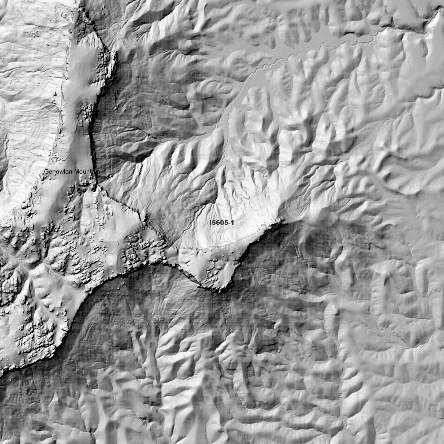
Capertee 2m Digital Elevation Model (I5605-1)
Couldn't load pickup availability
*New Product - April 2026*
Capertee 2m Digital Elevation Model (I5605-1) – High-Precision Digital Elevation Terrain Data, Ready for Immediate Use
Elev.com.au presents our high-resolution Capertee 2m Digital Elevation Model (DEM)—an easy-to-access resource for professionals needing precise terrain data for mapping, modelling, and spatial analysis.
What is in your Download
- 2 Metre resolution Digital Elevation Model (Geotiff format)
- Full Metadata Statement (PDF document)
-
Metadata Index Dataset (ESRI Shapefile)
- Copies of original Metadata from each contributing data survey
Data Source Attribution: The 2m DEM is compiled from a variety of authoritative sources, with each pixel representing the most current elevation data for consistent and accurate geospatial analysis.
Capertee 2mDEM ( I5605-1) compiled with data supplied by Spatial Services, a business unit of the Department of Customer Service, NSW.
Note: Data Gaps Exist within Source Datasets
Projection: Zone 56 Map Grid of Australia and Datum: GDA2020
Locations
State and Territories: New South Wales
Locations within the area; Airly, Ben Bullen, Ben Bullen State Forest, Capertee Angle, Capertee Valley, Genowlan Mountain, Glen Alice, Mount Airly, Mount Alloway, Mount Canobla, Mount Harvey, Mount Innes, Mount Mclean, Mount Stewart, Mount Wolgan, Newnes, Sapling Flat, Wolgan State Forest, Wolgan Valley
Share