Elev Group Pty Ltd
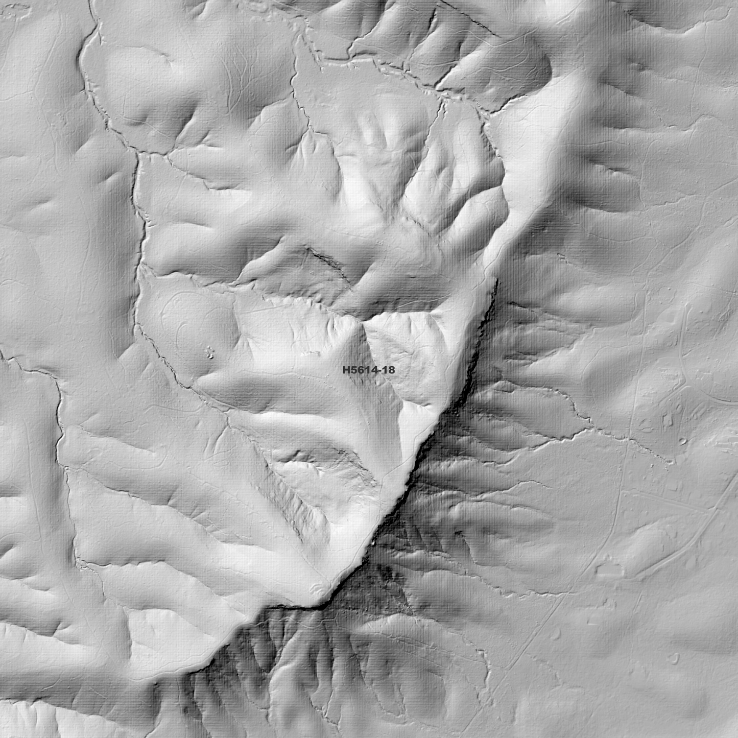
Cathie 1m Digital Elevation Model (H5614-18)
Cathie 1m Digital Elevation Model (H5614-18)
Couldn't load pickup availability
*Updated Product - Sept 2025*
Cathie 1m Digital Elevation Model (H5614-18) – High-Precision Digital Elevation Model Data which has been highly curated and ready for use.
Elev Group presents our high-resolution Cathie 1m Digital Elevation Model (DEM)—an easy-to-access resource for professionals needing precise terrain data for mapping, modelling, and spatial analysis.
What is in your Download
- 1 Metre resolution Digital Elevation Model (Geotiff format)
- Full Metadata Statement (PDF document)
- Metadata Index Dataset (ESRI Shapefile)
- Copies of original Metadata from each contributing data survey
Data Source Attribution: The 1m DEM is compiled from a variety of authoritative sources, with each pixel representing the most current elevation data for consistent and accurate geospatial analysis.
Cathie 1m DEM (H5614-18) compiled with data supplied by NSW Government - Spatial Services and NSW Government (Natural Resources Commission).
Note: Data Gaps and Holes Exist Within Source Datasets
Projection: Zone 56 Map Grid of Australia and Datum: GDA2020
Locations
State and Territories: New South Wales
Locations within the area; The Oaks, Lake Cathie, North Brother, Camden Head, North Brother, Diamond Head, Jolly Nose, Grants Beach, Bobs Creek, West Haven, Bonny Hills, Dunbogan, Deauville, Lakewood, Laurieton, Lake Cathie, North Haven
Share