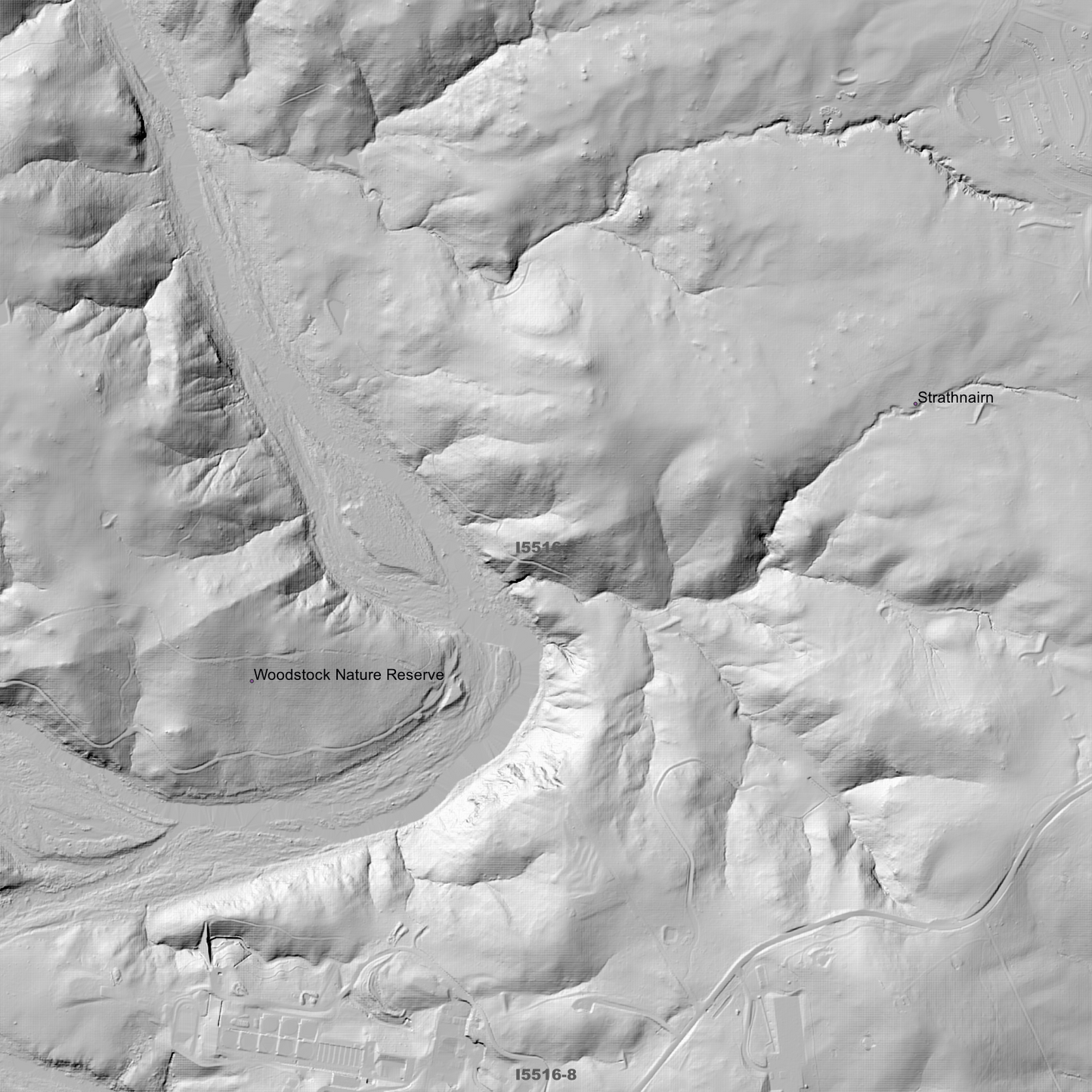
Cavan 1m Digital Elevation Model (I5516-2) – High-Precision Digital Elevation Model Data which has been highly curated and ready for use.
Elev Group presents our high-resolution Cavan 1m Digital Elevation Model (DEM)—an easy-to-access resource for professionals needing precise terrain data for mapping, modelling, and spatial analysis.
What is in your Download
- 1 Metre resolution Digital Elevation Model (Geotiff format)
- Full Metadata Statement (PDF document)
- Metadata Index Dataset (ESRI Shapefile)
- Copies of original Metadata from each contributing data survey
Data Source Attribution: The 1m DEM is compiled from a variety of authoritative sources, with each pixel representing the most current elevation data for consistent and accurate geospatial analysis.
Cavan 1mDEM (I5516-2) compiled with data supplied by NSW Government (Spatial Services) and ACT Government.
Projection: Zone 55 Map Grid of Australia and Datum: GDA2020
Locations
State and Territories: Australian Capital Territory and New South Wales
Locations within the area; Woodstock Nature Reserve, Cavan, Croppers Point, Dog Trap Crossing, Kangaroo Flat, Waddys Plain, Ram Flat, Scotchies Flat, Mount Narrangullen, Nutter Hill ,Big Hill ,Mount Hartwood, Pig Hill, Macnamara, Strathnairn, Mullion, Jeir.