Elev Group Pty Ltd
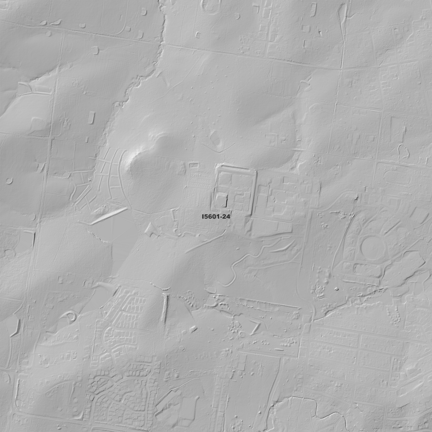
Cessnock 1m Digital Elevation Model (I5601-24)
Cessnock 1m Digital Elevation Model (I5601-24)
Couldn't load pickup availability
Cessnock 1m Digital Elevation Model (I5601-24) – High-Precision Digital Elevation Model Data which has been highly curated and ready for use.
Elev Group presents our high-resolution Cessnock 1m Digital Elevation Model (DEM)—an easy-to-access resource for professionals needing precise terrain data for mapping, modelling, and spatial analysis.
What is in your Download?
- 1 Metre resolution Digital Elevation Model (Geotiff format)
- Full Metadata Statement (PDF document)
- Metadata Index Dataset (ESRI Shapefile)
- Copies of original Metadata from each contributing data survey
Data Source Attribution: The 1m DEM is compiled from a variety of authoritative sources, with each pixel representing the most current elevation data for consistent and accurate geospatial analysis.
Cessnock 1m DEM (I5601-24) compiled with data supplied by NSW Government
Note: Data Gaps Exist Between Source Datasets and Small area of Bad Data has been removed.
Projection: Zone 56 Map Grid of Australia and Datum: GDA2020
Locations
State and Territories: New South Wales
Locations within the area; Aberdare, Aberdare State Forest, Abermain, Abernethy, Awaba State Forest, Bellbird, Bellbird Heights, Brunkerville, Campbell, Cessnock, Cessnock State Forest, Chinamans Hollow, Congewai, Ellalong, Elrington, Freemans Waterhole, Greta Main, Heaton State Forest, Kearsley, Keinbah, Kitchener, Kurri Kurri, Lovedale, Loxford, Mootai, Mount Bright, Mount View, Mount Vincent, Mulbring, Neath, Northumberland, Nulkaba, Paxton, Pelaw Main, Pelton, Pokolbin, Quorrobolong, Sawyers Gully, Stanford Merthyr, Tomalpin, Wallaby Gully, Weston
Share