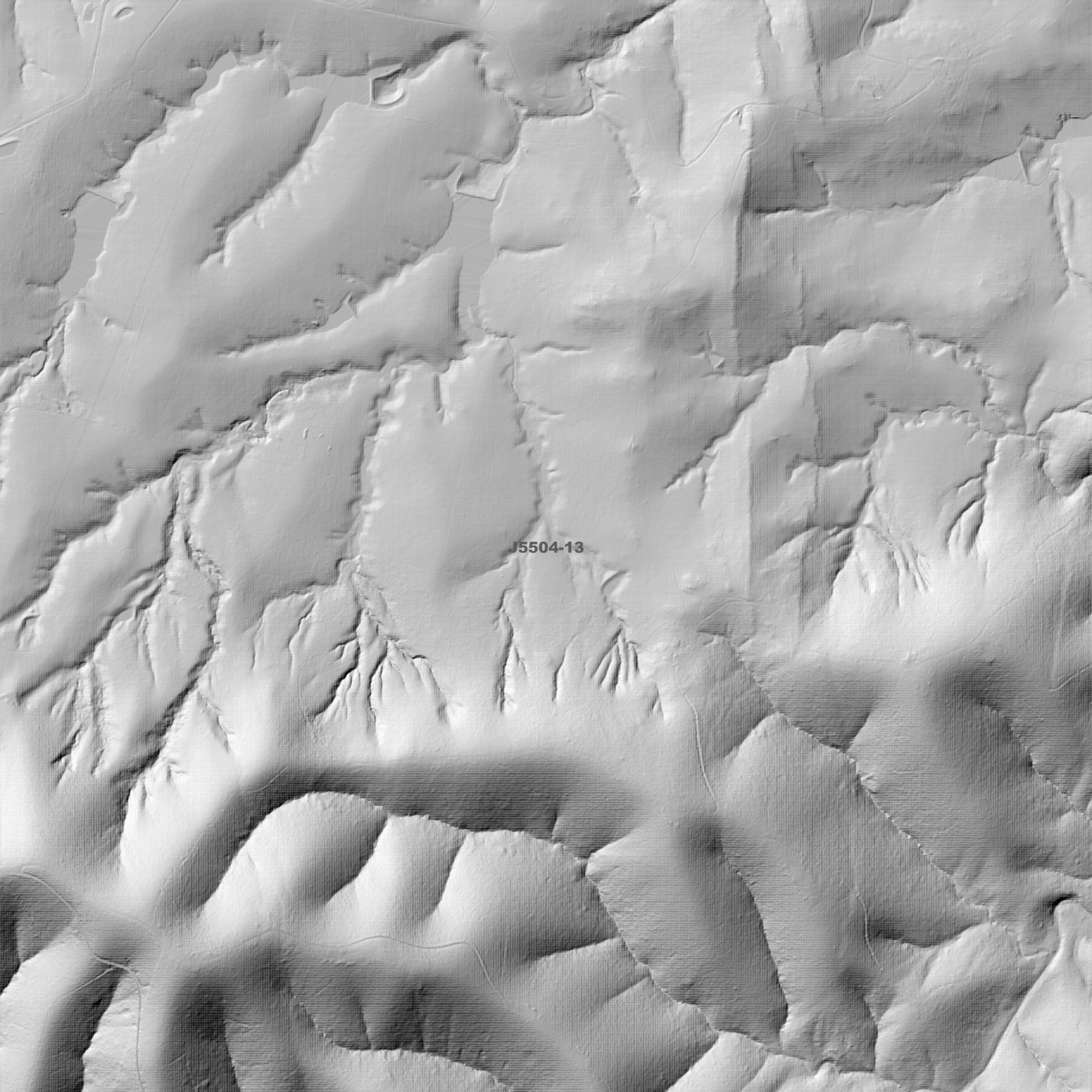
Cobargo 1m Digital Elevation Model (J5504-13) – High-Precision Digital Elevation Model Data which has been highly curated and ready for use.
Elev Group presents our high-resolution Cobargo 1m Digital Elevation Model (DEM)—an easy-to-access resource for professionals needing precise terrain data for mapping, modelling, and spatial analysis.
What is in your Download
- 1 Metre resolution Digital Elevation Model (Geotiff format)
- Full Metadata Statement (PDF document)
- Metadata Index Dataset (ESRI Shapefile)
- Copies of original Metadata from each contributing data survey
Data Source Attribution: The 1m DEM is compiled from a variety of authoritative sources, with each pixel representing the most current elevation data for consistent and accurate geospatial analysis.
Cobargo 1mDEM (J5504-13) compiled with data supplied by NSW Government (Spatial Services).
Projection: Zone 55 Map Grid of Australia and Datum: GDA2020. (Product also contains a MGA56 Version)
Locations
State and Territories: New South Wales
Locations within the area; Cadjangarry Mountain, Cobargo, Coolagolite, Dignams Creek, Duck Hole, Galba, Illawambra Dam, Jeffers Mountain, Mount Dumpling, Murrabrine Mountain, Narira Mountain, Quaama, Upper Brogo, Verona, Wandella, Wandella State Forest