Elev Group Pty Ltd
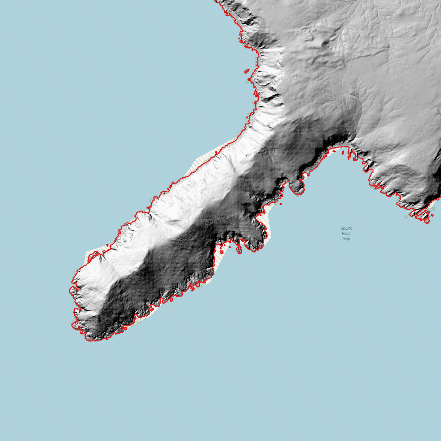
Cockle Creek 1m Digital Elevation Model (K5514-18)
Cockle Creek 1m Digital Elevation Model (K5514-18)
Couldn't load pickup availability
Cockle Creek 1m Digital Elevation Model (K5514-18) – High-Precision Digital Elevation Model Data which has been highly curated and ready for use.
Elev Group presents our high-resolution Cockle Creek 1m Digital Elevation Model (DEM)—an easy-to-access resource for professionals needing precise terrain data for mapping, modelling, and spatial analysis.
What is in your Download?
- 1 Metre resolution Digital Elevation Model (Geotiff format)
- Full Metadata Statement (PDF document)
- Metadata Index Dataset (ESRI Shapefile)
- Copies of original Metadata from each contributing data survey
Data Source Attribution: The 1m DEM is compiled from a variety of authoritative sources, with each pixel representing the most current elevation data for consistent and accurate geospatial analysis.
Cockle Creek 1m DEM (K5514-18) compiled with data supplied by The Department of Natural Resources and Environment Tasmania.
Note: Data Gaps Exist within Source Datasets
Projection: Zone 55 Map Grid of Australia and Datum: GDA2020
Locations
State and Territories: Tasmania
Locations within the area; Blackswan Lagoon, Blowhole Valley, Catamaran, Cockle Creek, Leprena, Moss Glen, Mount Leillateah, Recherche, South East Cape, Three Hillocks, Whale Head, Big Trumpeter Bay, Little Trumpeters Bay, Recherche Bay, Acteon Island, Sterile Island, South Cape Bay
Share