Elev Group Pty Ltd
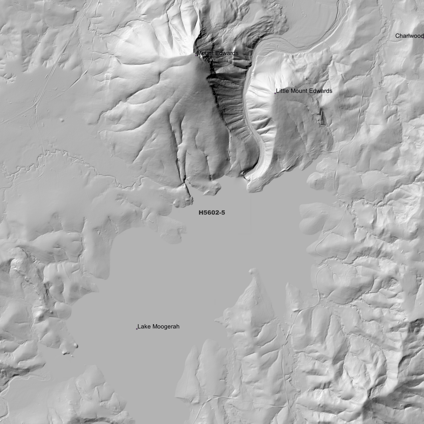
Coochin 1m Digital Elevation Model (H5602-5)
Coochin 1m Digital Elevation Model (H5602-5)
Couldn't load pickup availability
Coochin 1m Digital Elevation Model (H5602-5) – High-Precision Digital Elevation Model Data which has been highly curated and ready for use.
Elev Group presents our high-resolution Coochin 1m Digital Elevation Model (DEM)—an easy-to-access resource for professionals needing precise terrain data for mapping, modelling, and spatial analysis.
What is in your Download
- 1 Metre resolution Digital Elevation Model (Geotiff format)
- Full Metadata Statement (PDF document)
- Metadata Index Dataset (ESRI Shapefile)
- Copies of original Metadata from each contributing data survey
Data Source Attribution: The 1m DEM is compiled from a variety of authoritative sources, with each pixel representing the most current elevation data for consistent and accurate geospatial analysis.
Coochin 1m DEM (H5602-5) compiled with data supplied by State of Queensland and CSIRO Land and Water
Projection: Zone 56 Map Grid of Australia and Datum: GDA2020
Locations
State and Territories: Queensland and New South Wales
Locations within the area; Lake Maroon, Lake Moogerah, Dugandan, Mount Alford, Teviot, Mount Edwards, Wild Horse Mountain, Mount Greville, Little Mount Edwards, Mount Maroon, Mount May, Mount Minto, Ben Lomond, Mount Moon, Mount Philip, Mount Sugarloaf, Toowoonan Mount, Mount Alford, Melcombe, Coochin, Alford, Bunburra, Cannon Creek, Charlwood, Dugandan, Maroon, Milford, Mount Edwards, Carneys Creek, Mount Alford, Wallaces Creek, Coochin, Bunjurgen, Frenches Creek, Moogerah, Croftby
Share