Elev Group Pty Ltd
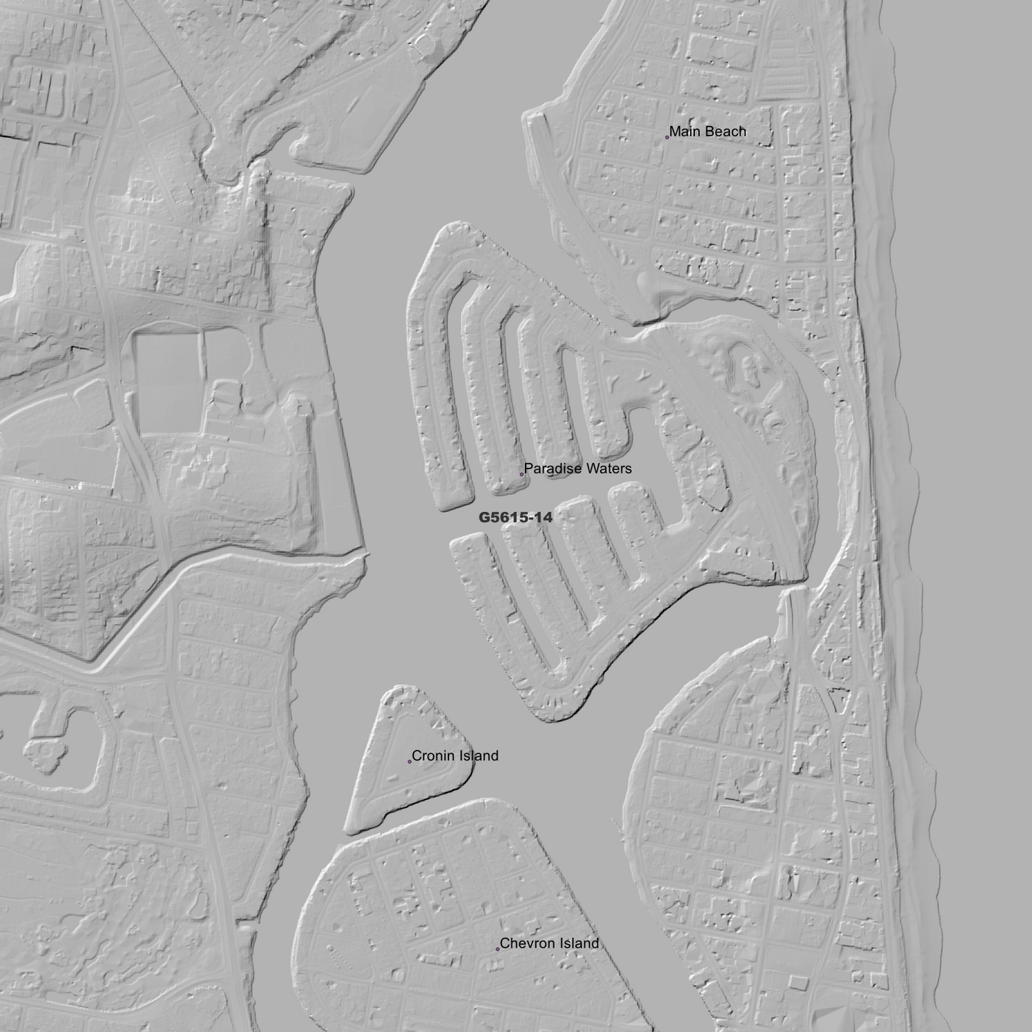
Coomera 1m Digital Elevation Model (G5615-14)
Coomera 1m Digital Elevation Model (G5615-14)
Couldn't load pickup availability
*Updated Product - March 2026*
Coomera 1m Digital Elevation Model (G5615-14) – High-Precision Digital Elevation Model Data which has been highly curated and ready for use.
Elev Group presents our high-resolution Coomera 1m Digital Elevation Model (DEM)—an easy-to-access resource for professionals needing precise terrain data for mapping, modelling, and spatial analysis.
What is in your Download
- 1 Metre resolution Digital Elevation Model (Geotiff format)
- Full Metadata Statement (PDF document)
-
Metadata Index Dataset (ESRI Shapefile)
- Copies of original Metadata from each contributing data survey
Data Source Attribution: The 1m DEM is compiled from a variety of authoritative sources, with each pixel representing the most current elevation data for consistent and accurate geospatial analysis.
Coomera 1m DEM (G5615-14) compiled with data supplied by The State of Queensland.
Projection: Zone 56 Map Grid of Australia and Datum: GDA2020
Locations
State and Territories: Queensland
Locations within the area; Albert, Anglers Paradise, Arundel, Ashmore, Barrow, Biggera Waters, Boonnahbah, Boykambil, Chevron Island, Coombabah, Coombabah Lake, Coomera, Cronin Island, Currigee, Gaven, Gold Coast, Helensvale, Heydon Heights, Hollywell, Hope Island, Jacobs Well, Labrador, Main Beach, Maudsland, Molendinar, Mount Nathan, Mount Wongawallan, Musgrave Hill, Nerang, Norwell, Ormeau, Oxenford, Pacific Pines, Paradise Point, Paradise Waters, Parkwood, Pimpama, Runaway Bay, Sanctuary Cove, Santa Barbara, South Stradbroke, Southern Moreton Bay Islands, Southport, Studio Village, Surfers Paradise, Upper Coomera, Willow Vale
Share