Elev Group Pty Ltd
Cradle Mountain 1m Digital Elevation Model (K5506-22)
Cradle Mountain 1m Digital Elevation Model (K5506-22)
Couldn't load pickup availability
Cradle Mountain 1m Digital Elevation Model (K5506-22) – High-Precision Digital Elevation Model Data which has been highly curated and ready for use.
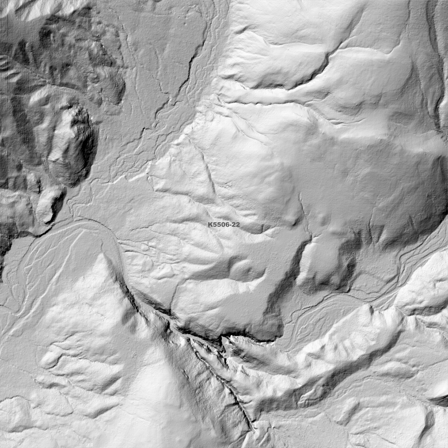
Elev Group presents our high-resolution Cradle Mountain 1m Digital Elevation Model (DEM)—an easy-to-access resource for professionals needing precise terrain data for mapping, modelling, and spatial analysis.
What is in your Download?
- 1 Metre resolution Digital Elevation Model (Geotiff format)
- Full Metadata Statement (PDF document)
- Metadata Index Dataset (ESRI Shapefile)
- Copies of original Metadata from each contributing data survey
Data Source Attribution: The 1m DEM is compiled from a variety of authoritative sources, with each pixel representing the most current elevation data for consistent and accurate geospatial analysis.
Cradle Mountain 1m DEM (K5506-22) compiled with data supplied by The Department of Natural Resources and Environment Tasmania.
Note: Data Gaps Exist within Source Datasets
Projection: Zone 55 Map Grid of Australia and Datum: GDA2020
Locations
State and Territories: Tasmania
Locations within the area; Barn Bluff, Carter Tarn, Cradle Mountain, Cradle Valley, Crater Lake, Devils Ravine, Dove Lake, Fourways, Fury Gorge, Granite Tor, Hidden Lake, Kathleens Pool, Lake Andrews, Lake Carruthers, Lake Ellen, Lake Hanson, Lake Holmes, Lake Lea, Lake Wilks, Lake Will, Lindon Tarns, Marigold Valley, Middlesex, Mount Beecroft, Mount Campbell, Mount Cripps, Mount Emmett, Mount Inglis, Mount Kate, Mount Remus, Nightmare Gully, Pencil Pine, Pencil Pine Bluff, Prospect Mountain, Quartzite Tor, Rocky Mountain, Romulus Pup, Suttons Tarn, Vale of Belvoir, Waterfall Valley, Weindorfers Tower
Share