Elev Group Pty Ltd
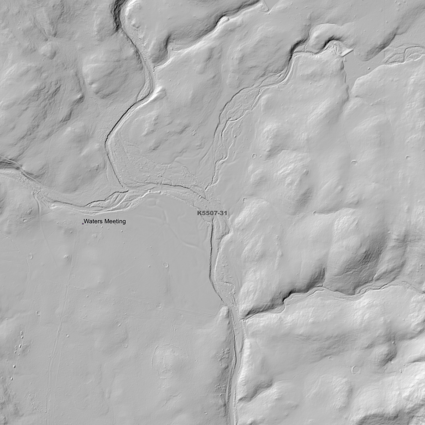
Cranbrook 1m Digital Elevation Model (K5507-31)
Cranbrook 1m Digital Elevation Model (K5507-31)
Couldn't load pickup availability
Cranbrook 1m Digital Elevation Model (K5507-31) – High-Precision Digital Elevation Model Data which has been highly curated and ready for use.
Elev Group presents our high-resolution Cranbrook 1m Digital Elevation Model (DEM)—an easy-to-access resource for professionals needing precise terrain data for mapping, modelling, and spatial analysis.
What is in your Download?
- 1 Metre resolution Digital Elevation Model (Geotiff format)
- Full Metadata Statement (PDF document)
- Metadata Index Dataset (ESRI Shapefile)
- Copies of original Metadata from each contributing data survey
Data Source Attribution: The 1m DEM is compiled from a variety of authoritative sources, with each pixel representing the most current elevation data for consistent and accurate geospatial analysis.
Cranbrook 1m DEM (K5507-31) compiled with data supplied by The Department of Natural Resources and Environment Tasmania
Note: Data Holes Exist within Source Datasets. Bad Data area/s removed.
Projection: Zone 55 Map Grid of Australia and Datum: GDA2020
Locations
State and Territories: Tasmania
Locations within the area; Apslawn, Apsley Gorge, Camp Gully, Cranbrook, Douglas-Apsley, Douglas-Apsley National Park, Hop Pole Bottom, Llandaff, Melrose Dam, Melrose Lake, Mount Allen, Mount Andrew, Mount Punter, Mount St John, Nichols Cap, Nichols Needles, Pine Gully, Royal George, Sassafras Gully, Shaly Gully, Springer Gully, Top Hole, Wallaby Scrub Gully, Waters Meeting
Share