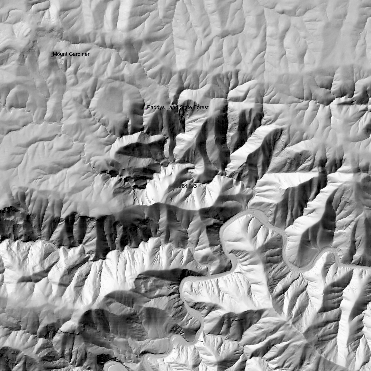
Dale 1m Digital Elevation Model (H5610-3) – High-Precision Digital Elevation Model Data which has been highly curated and ready for use.
Elev Group presents our high-resolution Dale 1m Digital Elevation Model (DEM)—an easy-to-access resource for professionals needing precise terrain data for mapping, modelling, and spatial analysis.
What is in your Download
- 1 Metre resolution Digital Elevation Model (Geotiff format)
- Full Metadata Statement (PDF document)
- Metadata Index Dataset (ESRI Shapefile)
- Copies of original Metadata from each contributing data survey
Data Source Attribution: The 1m DEM is compiled from a variety of authoritative sources, with each pixel representing the most current elevation data for consistent and accurate geospatial analysis.
Dale 1m DEM (H5610-3) compiled with data supplied by CSIRO Land and Water
Projection: Zone 56 Map Grid of Australia and Datum: GDA2020
Locations
State and Territories: New South Wales
Locations within the area; Braziers Hut, Pargo Flat, Pack Saddle, Taylors Vale, Two Mile Hut, Wonga Hut, Boban Hut, Moses Lambing, Paddys Land Hut, Bear Hill, Mount Ellis, Mount Gardiner, Barneys Mountain, Lark Hill, Mount Mulligan, Spion Kopje, Allingham, Dale, Blythe, White, Rampsbeck, Seeley, The Gulf, Wards Mistake