Elev Group Pty Ltd
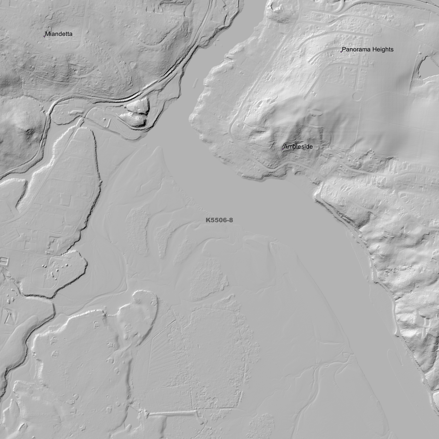
Devonport 1m Digital Elevation Model (K5506-8)
Devonport 1m Digital Elevation Model (K5506-8)
Couldn't load pickup availability
Devonport 1m Digital Elevation Model (K5506-8) – High-Precision Digital Elevation Model Data which has been highly curated and ready for use.
Elev Group presents our high-resolution Devonport 1m Digital Elevation Model (DEM)—an easy-to-access resource for professionals needing precise terrain data for mapping, modelling, and spatial analysis.
What is in your Download?
- 1 Metre resolution Digital Elevation Model (Geotiff format)
- Full Metadata Statement (PDF document)
- Metadata Index Dataset (ESRI Shapefile)
- Copies of original Metadata from each contributing data survey
Data Source Attribution: The 1m DEM is compiled from a variety of authoritative sources, with each pixel representing the most current elevation data for consistent and accurate geospatial analysis.
Devonport 1m DEM (K5506-8) compiled with data supplied by The Department of Natural Resources and Environment Tasmania, and Geoscience Australia
Projection: Zone 55 Map Grid of Australia and Datum: GDA2020
Locations
State and Territories: Tasmania
Locations within the area; Aberdeen, Ambleside, Bellfield, Denny Gorge, Devonport, Don, Don Junction, East Devonport, Eugenana, Forthside, Hamilton-on-Forth, Healeys Gully, Highfield, Lake Eugenana, Latrobe, Leith, Lillico, Miandetta, Moriarty, Panorama Heights, Pardoe Downs, Quoiba, Rannoch, Spreyton, Stony Rise, Tarleton, Tugrah, Wesley Vale, Williams Reservoir
Share