Elev Group Pty Ltd
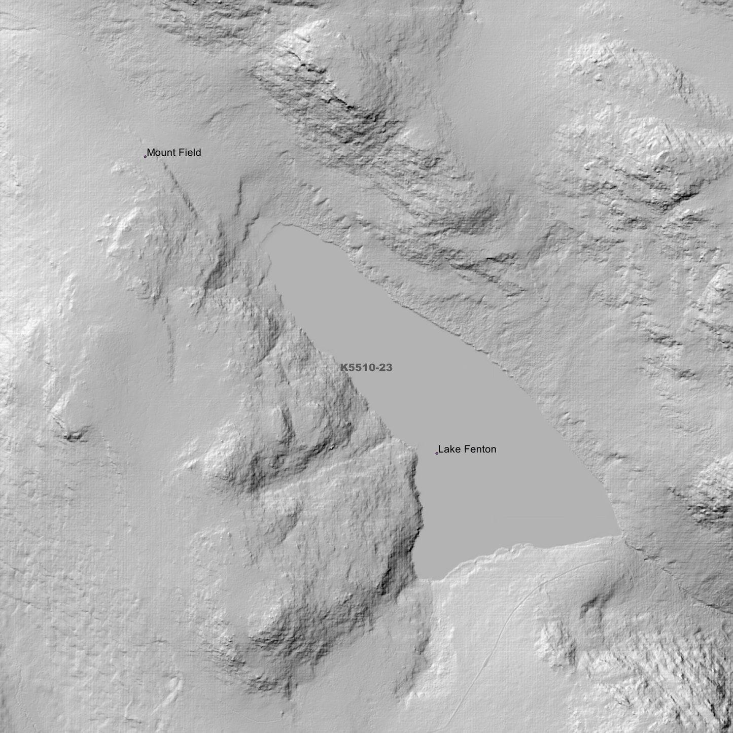
Ellendale 1m Digital Elevation Model (K5510-23)
Ellendale 1m Digital Elevation Model (K5510-23)
Couldn't load pickup availability
Ellendale 1m Digital Elevation Model (K5510-23) – High-Precision Digital Elevation Model Data which has been highly curated and ready for use.
Elev Group presents our high-resolution Ellendale 1m Digital Elevation Model (DEM)—an easy-to-access resource for professionals needing precise terrain data for mapping, modelling, and spatial analysis.
What is in your Download?
- 1 Metre resolution Digital Elevation Model (Geotiff format)
- Full Metadata Statement (PDF document)
- Metadata Index Dataset (ESRI Shapefile)
- Copies of original Metadata from each contributing data survey
Data Source Attribution: The 1m DEM is compiled from a variety of authoritative sources, with each pixel representing the most current elevation data for consistent and accurate geospatial analysis.
Ellendale 1m DEM (K5510-23) compiled with data supplied by The Department of Natural Resources and Environment Tasmania
Projection: Zone 55 Map Grid of Australia and Datum: GDA2020
Locations
State and Territories: Tasmania
Locations within the area; Backhouse Tarn, Beatties Tarn, Blackhorse Gully, Brown Mountain, Clemes Tarn, Cluny Dam, Cluny Lagoon, Dishs Gully, Eagle Tarn, Ellendale, Fairy Tarn, Florentine, Hidden Tarn, James Tarn, Johnston Tarn, Lake Belcher, Lake Belton, Lake Dobson, Lake Emmett, Lake Fenton, Lake Hayes, Lake Newdegate, Lake Nicholls, Lake Rayner, Lake Seal, Lake Webster, Lions Den, MacKenzie Tarn, Mount Bridges, Mount Crooke, Mount Field, Mount Field East, Mount Field National Park, Mount Field West, Mount Lord, Mount Mawson, Mount Monash, National Park, Peace Valley, Platypus Tarn, Repulse Dam, Robert Tarn, The Watcher, Twilight Tarn, Twisted Tarn, Tyenna, Walker Tarn
Share