Elev Group Pty Ltd
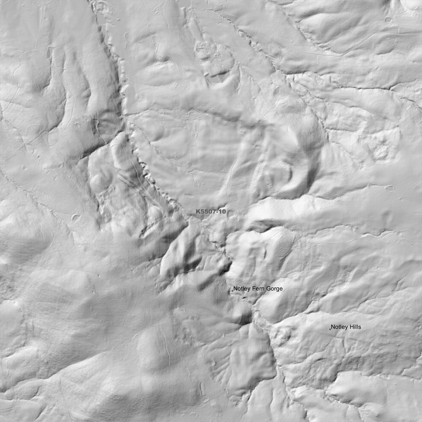
Exeter 1m Digital Elevation Model (K5507-10)
Exeter 1m Digital Elevation Model (K5507-10)
Couldn't load pickup availability
Exeter 1m Digital Elevation Model (K5507-10) – High-Precision Digital Elevation Model Data which has been highly curated and ready for use.
Elev Group presents our high-resolution Exeter 1m Digital Elevation Model (DEM)—an easy-to-access resource for professionals needing precise terrain data for mapping, modelling, and spatial analysis.
What is in your Download?
- 1 Metre resolution Digital Elevation Model (Geotiff format)
- Full Metadata Statement (PDF document)
- Metadata Index Dataset (ESRI Shapefile)
- Copies of original Metadata from each contributing data survey
Data Source Attribution: The 1m DEM is compiled from a variety of authoritative sources, with each pixel representing the most current elevation data for consistent and accurate geospatial analysis.
Exeter 1m DEM (K5507-10) compiled with data supplied by The Department of Natural Resources and Environment Tasmania, and Geoscience Australia
Note: Data Gaps Exist within Source Datasets
Projection: Zone 55 Map Grid of Australia and Datum: GDA2020
Locations
State and Territories: Tasmania
Locations within the area; Birralee, Blackwall, Bridgenorth, Exeter, Four Springs Lake, Glengarry, Gravelly Beach, Holwell, Holwell Gorge, Lanena, Leam, Loira, Mount Careless, Notley Fern Gorge, Notley Hills, Paper Beach, Pipers Lagoon, Quamby Bend, Robigana, Rosevale, Rosevears, Selbourne, Swan Point, West Tamar, Westwood, Winkleigh
Share