Elev Group Pty Ltd
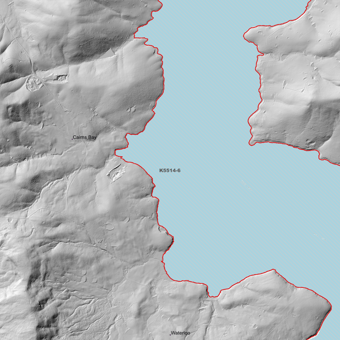
Geeveston 1m Digital Elevation Model (K5514-6)
Geeveston 1m Digital Elevation Model (K5514-6)
Couldn't load pickup availability
Geeveston 1m Digital Elevation Model (K5514-6) – High-Precision Digital Elevation Model Data which has been highly curated and ready for use.
Elev Group presents our high-resolution Geeveston 1m Digital Elevation Model (DEM)—an easy-to-access resource for professionals needing precise terrain data for mapping, modelling, and spatial analysis.
What is in your Download?
- 1 Metre resolution Digital Elevation Model (Geotiff format)
- Full Metadata Statement (PDF document)
- Metadata Index Dataset (ESRI Shapefile)
- Copies of original Metadata from each contributing data survey
Data Source Attribution: The 1m DEM is compiled from a variety of authoritative sources, with each pixel representing the most current elevation data for consistent and accurate geospatial analysis.
Geeveston 1m DEM (K5514-6) compiled with data supplied by The Department of Natural Resources and Environment Tasmania, and Geoscience Australia.
Note: Data Holes Exist within Source Datasets
Projection: Zone 55 Map Grid of Australia and Datum: GDA2020
Locations
State and Territories: Tasmania
Locations within the area; Arthur Tarn, Cairns Bay, Castle Forbes Bay, Emily Tarn, Franklin, Geeveston, Glen Huon, Glendevie, Hartz Lake, Hartz Mountains National Park, Kermandie, Ladies Tarn, Lake Esperance, Lake Osborne, Lake Perry, Lidgerwood Basin, Port Huon, Rileys Creek Reservoir, South Franklin, Surges Bay, Tongatabu, Waterloo
Share