Elev Group Pty Ltd
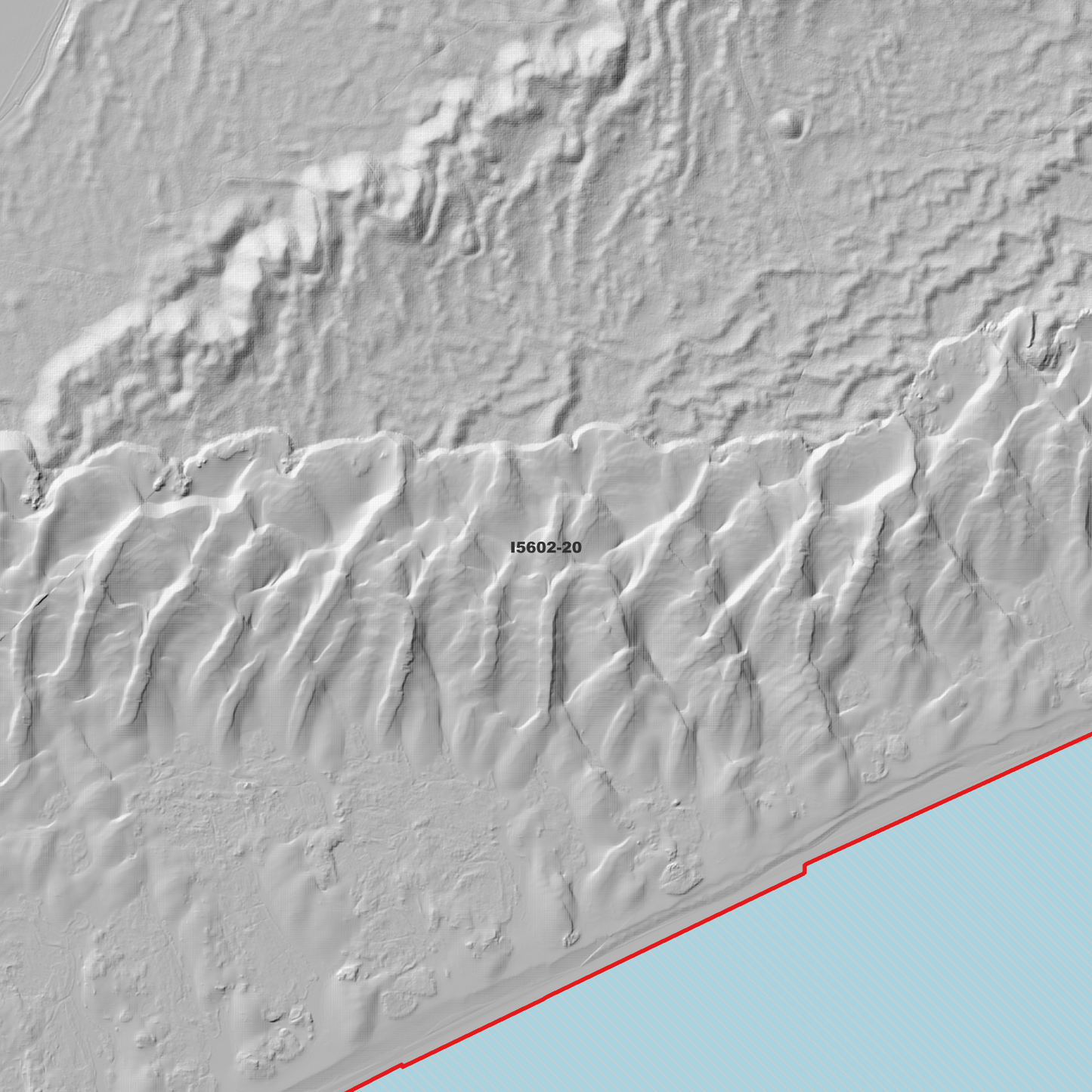
Newcastle 1m Digital Elevation Model (I5602-20)
Newcastle 1m Digital Elevation Model (I5602-20)
Couldn't load pickup availability
Newcastle 1m Digital Elevation Model (I5602-20) – High-Precision Digital Elevation Model Data which has been highly curated and ready for use.
Elev Group presents our high-resolution Newcastle 1m Digital Elevation Model (DEM)—an easy-to-access resource for professionals needing precise terrain data for mapping, modelling, and spatial analysis.
What is in your Download
- 1 Metre resolution Digital Elevation Model (Geotiff format)
- Full Metadata Statement (PDF document)
- Metadata Index Dataset (ESRI Shapefile)
- Copies of original Metadata from each contributing data survey
Data Source Attribution: The 1m DEM is compiled from a variety of authoritative sources, with each pixel representing the most current elevation data for consistent and accurate geospatial analysis.
Newcastle 1m DEM (I5602-20) compiled with data supplied by NSW Government - Spatial Services
Note: Data Gaps Exist Between Source Datasets
Projection: Zone 56 Map Grid of Australia and Datum: GDA2020
Locations
State and Territories: New South Wales
Locations within the area; Dyke Point, Tomago Sandbeds, Walsh Point, Civic, Honeysuckle, Carrington, Campvale, Cooks Hill, Fern Bay, Hamilton East, Hamilton South, Kooragang, Newcastle East, Newcastle West, The Hill, Tilligerry Creek, Williamtown, Merewether, Bar Beach, The Junction, Tighes Hill, Wickham, Maryville, Fullerton Cove, Salt Ash
Share