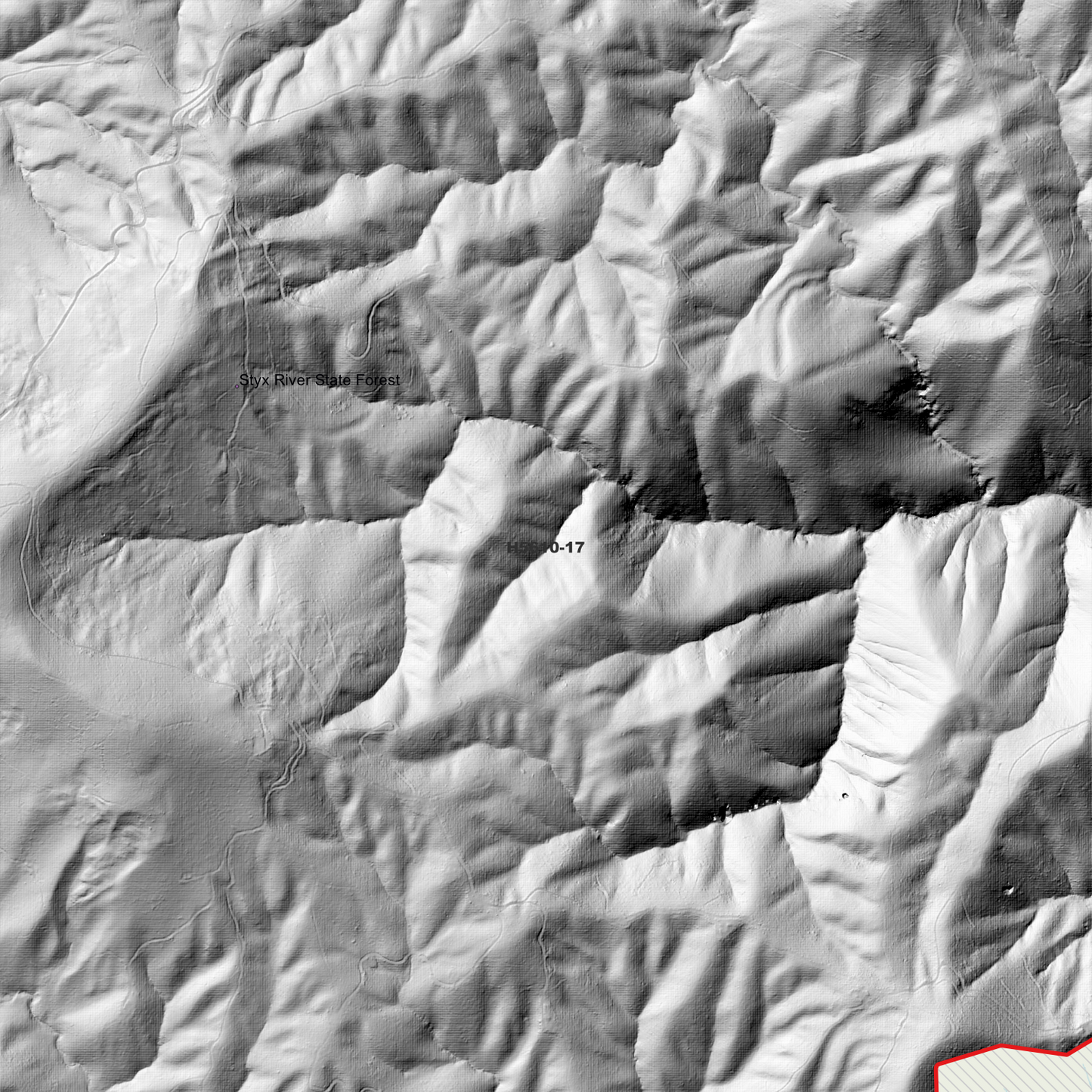
Styx 1m Digital Elevation Model (H5610-17) – High-Precision Digital Elevation Model Data which has been highly curated and ready for use.
Elev Group presents our high-resolution Styx 1m Digital Elevation Model (DEM)—an easy-to-access resource for professionals needing precise terrain data for mapping, modelling, and spatial analysis.
What is in your Download
- 1 Metre resolution Digital Elevation Model (Geotiff format)
- Full Metadata Statement (PDF document)
- Metadata Index Dataset (ESRI Shapefile)
- Copies of original Metadata from each contributing data survey
Data Source Attribution: The 1m DEM is compiled from a variety of authoritative sources, with each pixel representing the most current elevation data for consistent and accurate geospatial analysis.
Styx 1m DEM (H5610-17) compiled with data supplied by NSW Government (Natural Resources Commission)
Projection: Zone 56 Map Grid of Australia and Datum: GDA2020
Locations
State and Territories: New South Wales
Locations within the area; Georges Creek, Georges Junction, Jeogla Warm Crossing, Mullens Crossing, Oaky Pinnacle, Big Hill, Tooses Top, Middle Creek Knob, Halls Peak, Raspberry Mountain, George, Jeogla, Styx, Tiara, Poganbilla, Wollomombi